Created by the Provincial Administration of Reggio Emilia, the Spallanzani Trail is dedicated to Lazzaro Spallanzani, a famous naturalist from Reggio Emilia who lived in the 18th century and was considered the “Galilei of biology,” to whom the trail is named because of the many explorations he made in the Apennines. The trail traverses all the vegetation belts of the Reggio Emilia Apennines, starting from Scandiano, Spallanzani’s hometown, and passing through Viano, Regnano, Carpineti, Pietra di Bismantova, Ligonchio, Lama Lite, Passo delle Forbici and Passo delle Radici, and ending in S. Pellegrino in Alpe, on the Tosco Emiliano ridge.
The fascinating route, 115 km long with a total elevation gain of 5,000 m.t., is marked, in addition to the red and white CAI (Italian Alpine Club) signs, by a butterfly symbol and the initials SSP. The route, which does not present any particular technical difficulties, is practicable even by inexperienced hikers and lends itself well to horse trekking. It takes place in seven stages, totaling about 35h of walking, and is like walking through a geological museum in the open air. Recommended in summer, for the cool climate, and, for the variety and intensity of colors, in autumn and spring.
STAGE 1: Scandiano (Ventoso) – Regnano
The first stage of the Spallanzani Trail starts from the village of Ventoso, one kilometer south of the town of Scandiano, near the western flank of the former lime kiln of paleoindustrial interest. It takes a cartroad that climbs the valley of the Guiglia stream among shrubby thickets and wide grasslands until it reaches the watershed, from where there is a splendid view of the Tresinaro valley. Past a farm building (Bottegaro), you pass a famous centuries-old oak tree and descend among grassy meadows, where numerous orchids bloom in spring, to the bridge over the Tresinaro stream, in front of the Church of Rondinara.
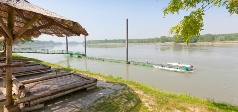
At this point you climb up the opposite slope to the characteristic Viano Castle, part of the Matildic defense complex. Now follow the paved road in the direction of Mamorra for about 2 km, to abandon it after Casino by taking a cartroad on the right that reaches Rio Faggiano and the provincial road near the rural building known as Le Piane. Finally, we reach Regnano, a locality famous for the salse, small volcanoes of cold mud bubbling in the clay soil, a phenomenon caused by the underground presence of gaseous hydrocarbons that Spallanzani had studied several times.
STAGE 2: Regnano – Badger Mill.
From Regnano, the route climbs in the direction of Monte Alfonso, reaching which you descend a steep cartroad through the fields, with beautiful views of the valley below. You go up the small valley of the Rio Cesella and reach the entrance to a Riolo, another charming small village. From Riolo it is possible to reach the abandoned village of Cavazzone, a rare example of a courtyard settlement dating in its present form to the 17th-19th centuries, characterized by a long portico under which the main mule track passed.
From Riolo the stage continues along a narrow wooded valley rich in tree species, among which the Scotch pine stands out, until it reaches S. Giovanni di Querciola, where there are numerous tower houses of interest. It takes Via Michelangelo, still among centuries-old oaks, to the nearby hamlet of Prodiera. You pass the Casa di Carità, the dairy, and reach the nearby hamlet of Ca’ de’ Pazzi. Passing the semi-abandoned hamlet of Sorriva, the trail continues into the woods, where beautiful orchid specimens can be seen in spring, until it reaches the level Mulino del Tasso lake, where the second stage ends.
STAGE 3: Badger Mill – San Vitale.
A trail climbs to Monte delle Ripe, former site of Giandeto Castle, and then descends the southern slope to Case Mattioli, a characteristic group of fortified houses. Continue to the Church of Giandeto, from which by a cart road you reach Croveglia, a delightful village interesting in particular for its two 15th-century tower houses, placed to guard the Rio Tresinaro valley in a position impregnable from enemy attacks and connected to the other castles of the Matildic fortified system. Again by agricultural cart tracks we descend to the Tresinaro and arrive at another hamlet with a tower house, Cerpiano.
The stage continues to the hamlet called Mandra, and then briefly ascends to the site of the medieval castle, near which stands the ancient and venerated Oratory of Santa Liberata. A mule track climbs to Monte Uccellara and then descends to Romagnano, one of the best-preserved villages in the entire Reggio Emilia Apennines, with some 15th-century buildings of considerable architectural interest. At this point the trail continues to the archaeological site of the important Pieve di San Vitale, the ruins of which stand on a grassy plateau. All that remains of the ancient Romanesque parish is the narthex reduced to a chapel and the rectory (16th-17th cent.) restored and used as a hostel.
ROUTE 4: San Vitale – Ginepreto.
From San Vitale the trail is now of great geological and botanical interest. We reach Carpineti Castle, which was the residence of Matilda of Canossa and where Pope Gregory VII also stayed. The castle, built in the 10th and 11th centuries, is situated on the peak of Mount Antognano (805 m above sea level) from which it dominates the Tresinaro and Secchia valleys, a few kilometers from the center of Carpineti. From the castle, continue through chestnut, beech and bramble woods on the ridge until you reach Ca’ Fòsola and the twin large beech trees that characterize the grassy saddle.
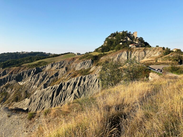
At this point you continue among more open fields with magnificent views of the Pietra di Bismantova to the charming village of Saccaggio, dominated by two ancient tower-houses (15th-16th centuries). Then you reach the village of Campolungo, where, having crossed the road to Casale, a sheep-track through the fields approaches the Pietra di Bismantova. You pass by the mouth of the well-known Ferrata degli Alpini and among hazel groves and clearings you reach the top of the famous rocky massif with its unmistakable and isolated ship-shaped profile that distinguishes the landscape of the Reggio Emilia Apennines. To descend from the Pietra, take the convenient path set to the west that, circling around the base of the spectacular vertical wall, leads to the Hermitage of Bismantova. Continue along a cart road that leads to the Church of Ginepreto.
ROUTE 5: Ginepreto – Casalino.
From Ginepreto you descend by mule tracks to the Secchia River, whose bed is characterized by interesting chalk exposures. You cross Ponte del Pianello and reach, taking an unmarked path, the spectacular karst cavity called Tanone della Gacciolina. Returning to the marked path, after a nice meadow you are at the abandoned rural nucleus of Ca’ Rabacchi, from which you descend again to the provincial road, to cross it and take the cart road that crosses the bed of the Rio di Sologno.
You reach Castellaro, a delightful village perched on a hillock of reddish-colored volcanic origin, and take the mule track parallel to the road that leads to the village of Cerrè Sologno. The trail now climbs a scenic ridge and, having passed the watershed, descends to the lovely village of Montecagno, crosses it and by mule track reaches Casalino, a quaint old mountain hamlet.
ROUTE 6: Casalino-Rifugio Battisti.
From Casalino we descend to the mill, on the Ozola stream, and then to the town of Ligonchio, the highest municipality in the Reggio Emilia Apennines and the heart of the Tuscan-Emilian Apennine National Park. Its still intact, natural landscape of extraordinary beauty in an ecosystem of great scientific interest is rich in resources. From Ligonchio, at the Scodellino fountain, follow trail 635, which crosses the picturesque Valley of the Ozola stream winding halfway up the mountainside among precipitous sandstone outcrops.
At this point a gradual ascent begins to the Rimale Presa, on the stream of the same name. The trail continues to the Presa Alta, where you take the path that, still climbing, after some zig-zags in the woods, arrives at the beautiful plateau known as Lago del Capriolo (although the lake was drained over 60 years ago). It climbs further to the Romecchio Pass, a pass on the Apennine ridge located at an altitude of 1680 m where the small Oratory of S.Bartolomeo is located. Here the panorama opens to the Apennine ridge, the Monte Cusna massif and, to the south, the Apuan Alps. From the Romecchio Pass, the trail passes a little below the ridge, through a blueberry heath, past the Bargetana Refuge and up to the Cesare Battisti Refuge at Lama Lite, the oldest and busiest refuge in the Apennines of Reggio Emilia.
ROUTE 7: Rifugio Battisti – San Pellegrino in Alpe
From Lama Lite Pass, take the trail southeast toward Bocca di Massa. It winds halfway up the northern flank of Monte Prado, through a heath of blueberries, interspersed with brachypodium colonies. It crosses the Rio Torto and climbs gradually to Bocca di Massa (1806 m), a ridge pass from which the Serchio valley and Pania di Corfino are visible. A steep descent through a beech forest leads to a cart track a few meters from the Passo delle Forbici Oratory. From the pass, the trail goes around Mount Giovarello to the pass of the same name and continues to the Prati di S. Geminiano, an area frequented since ancient times as evidenced by Neolithic finds.
It continues along the ridge, passing Mount La Nuda and then descending into a beech forest until it meets the wide cart tracks leading to the Passo delle Radici, also known as the mouth of the Radici, which separates Tuscany from Emilia and in particular the province of Lucca, municipality of Castiglione di Garfagnana, from the province of Modena, municipality of Frassinoro. The Sentiero Matilde and the Via Bibulca also converge here. From here through meadows and forest paths halfway down to the meadows of Villa Bianca (farm with spring). Here a slightly uphill cart track leads to the Pradaccio meadows and finally to the village of S. Pellegrino in Alpe, the end of the Spallanzani Trail. San Pellegrino is a small village perched 1525 meters above sea level, where it is possible to visit the Ospizio, an important stop for medieval pilgrims, the Sanctuary and the “Don Luigi Pellegrini” Provincial Ethnographic Museum, with more than 4,000 objects documenting the life of the Apennine peoples at the turn of the 19th and 20th centuries.
For more information please visit the official web site CAI Scandiano.
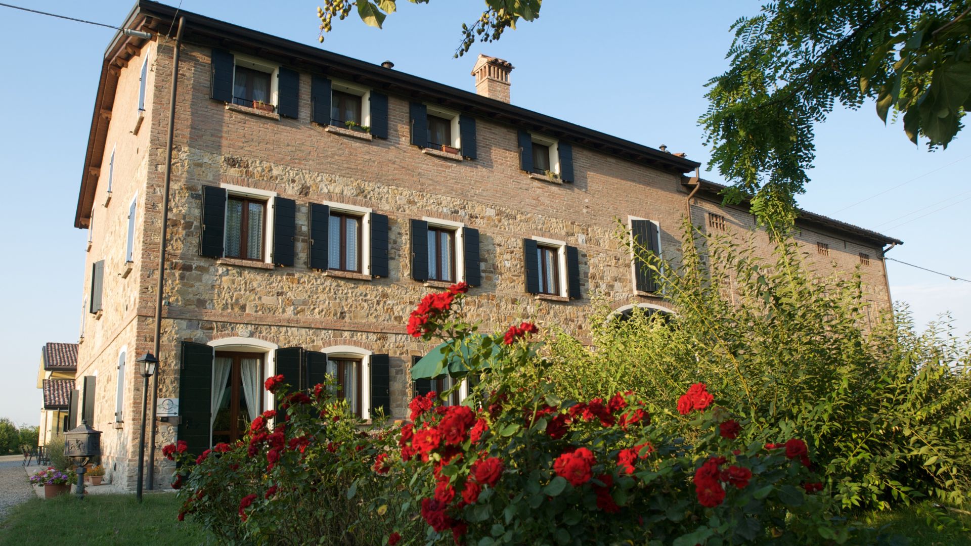
AGRITURISMO IL BRUGNOLO
Welcome to il Brugnolo
If you’re looking for completely independent apartments surrounded by greenery you really are in the right place here!
In fact, Brugnolo is immersed in the green nature of the Emilian countryside. For your relaxation, for that of your children, and again for the runs of your 4-legged friends, you will have 6000 square meters of park at your disposal!