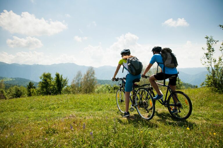
Are you a trekking enthusiast? Here are some perfect itineraries for an excursion to the lakes in the Reggio Emilia, Parma and Piacenza area. Thanks to these (lake themed) routes immersed in nature you will be able to discover some of the most enchanting corners of the Emilian Apennines.
CALAMONE LAKE AND BARGETANA LAKE (Reggio Emilia)
Trekking in the Reggio Emilia area cannot ignore a trip to Lake Calamone (also called Lake Ventasso), one of the most evocative and popular places in the Apennines, a destination for thousands of people. For hundreds of years it was at the center of a legend, which claimed it was bottomless and connected to the depths of the sea. This myth was debunked in 1762 by the famous Scandian scientist Lazzaro Spallanzani, when he was crossed by a boat equipped with a lead wire. Located at an altitude of around 1400 metres, it was formed when glaciers retreated thousands of years ago. It can be reached from Ramiseto by continuing towards Ventasso Laghi (Albergo il Faggio) via Pian dei Fornelli. From here we continue towards the lake which can be reached on foot in ten minutes. The following CAI paths depart from the lake: n° 661, which leads to the summit of Monte Ventasso; n° 663, which leads to the Oratory of S. Maria Maddalena and to Nismozza or (661) to the summit of Ventasso or to Busana; and n° 667, which leads to the Pratizzano Pass.
Inside the spectacular basin of the northern side of Monte Prado (the second highest peak of the Reggio Emilia Apennines) lies Lake Bargetana, very interesting for the beauty and environmental value of the place. Its banks are surrounded by lush pastures and rugged rock faces, where with a bit of luck it is possible to spot the marmot. From Ligonchio take the CAI path n° 633 (4 hours). From Presa Alta, which can be reached from CAI paths n° 633, n° 635 or from the forest road, follow CAI paths n° 629 and n° 631 (3 hours). From La Romita (Civago) take the CAI paths n° 605 and n° 631 (3 hours).
SILLARA LAKES (Parma)
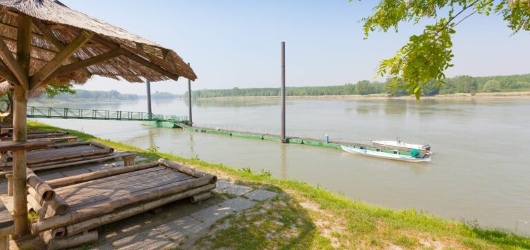
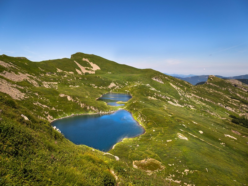
Mount Sillara, with its 1861 meters of altitude, is one of the main peaks of the Tuscan-Emilian Apennines. Just below the summit, in a north-east direction, on the Parma side, there are two lakes of glacial origin, Lake Sillara Superiore and Lake Sillara Inferiore, which are the ideal destination for a trekking experience. But in reality, the itinerary we propose also allows you to discover other picturesque lakes in the Parma Apennines. The excursion follows path no. 707 from Pratospilla to Lake Ballano, paths no. 707 and no. 711 up to Lago Verde and then path no. 711 up to the actual twin lakes of Sillara, at 1730 meters above sea level . From here, it is possible to climb up to the summit to admire a magnificent view that ranges from Lunigiana to the Apuan Alps, up to the sea.
MOO LAKE, BINO LAKE AND NERO LAKE (Piacenza)
Among the walks to consider for a day of trekking in the Piacenza hinterland, those in Val Nure deserve a mention. We offer you two itineraries, both of which start from the town of Ferriere.
From Ferriere you reach the hamlet of Canadello, located just 3 kilometers away. From here you either take a comfortable dirt road or you can follow the shorter CAI path n° 021. In a short time you will reach the largest basin of the Piacenza Apennines, where, at an altitude of around 1100 metres, you will find Lake Moo. The lake, now in extinction due to the invasion of marsh flora, was formed thanks to the geological mechanisms produced by the ice that descended from Monte Ragola. From Lake Moo, going up the slope to the east you reach a wide road that leads to Lake Bino, located at around 1300 meters above sea level. The lake mirror, a popular destination for many hikers, looks like a natural swimming pool overlooking the valley. Having left Lake Bino and passed the culmination of the route, the itinerary continues towards the third and final stop of the first itinerary, namely Prato Grande, a vast grassy surface which in the past hosted lake basins.
The second itinerary that we propose is a circular route that starts and ends in Ferriere. It includes an initial stretch by car to Selva. After leaving the car, take the CAI path n. 007 and after about ten minutes you find yourself in front of a crossroads with signs for Dogana. Ignore the signs and continue through the beech forest until you reach Fontana Gelata. Once you have crossed the stream on the left, just follow the signs for CAI path n. 011 and here you are at the enchanting Lake Nero. To conclude the ring you can retrace the route in reverse or take the CAI path n. 001 and then, from Le Buche, path no. 005.
Photo Sillara Lakes © Touring Club Italiano
AGRITURISMO IL BRUGNOLO
Welcome to il Brugnolo
If you’re looking for completely independent apartments surrounded by greenery you really are in the right place here!
In fact, Brugnolo is immersed in the green nature of the Emilian countryside. For your relaxation, for that of your children, and again for the runs of your 4-legged friends, you will have 6000 square meters of park at your disposal!